Preserve.
We keep the record straight. Historic routes, traditional use, and the paperwork that proves both.
Nobody wakes up to a locked gate. It closes one quiet decision at a time. AOAA is the coalition that shows up.
What is actually at risk
Access in Alaska runs on things most people never think about. RS 2477 rights of way. ANCSA 17(b) easements. A put in at the end of a gravel road. A winter trail that has been ridden for sixty years. None of it is automatic. Each one survives because someone was in the room when it came up.
"Access routes that are neglected, obstructed or de-emphasized become increasingly difficult to defend and maintain over time." Anchorage Daily News, opinion page
Three words are on the logo. This is what each one costs in practice.
We keep the record straight. Historic routes, traditional use, and the paperwork that proves both.
We read the plans nobody else reads, and we comment before the window closes, not after.
When a closure is wrong, we say so in public, with Alaskans behind us and the facts in hand.
Current priorities
These are live. Not a wish list.
885 acres of state land proposed for transfer to AIDEA. The notice says nothing about access, easements or RS 2477 rights of way. Comments close 5:00 p.m. on 21 October 2026.
After nearly 24 years, DNR has released the records behind the weight limit that decides whether your machine needs a permit. Help us examine more than 500 pages.
The state wants a permit to drive faster than 10 miles an hour from May through September. Comments close 5:00 p.m. on 9 November 2026.
Reopening and protecting public access in a corridor local riders and hunters have used for decades.
Monitoring the National Scenic Trail designation and what it means for the uses already on that ground.
Preserving and improving public access to the Whittier recreation areas.
Trail development and public access in and around the McCarthy area.
Tracking a proposed transfer of federal land and what it does to public access on the ground.
Following a proposed renewable energy land lease and its effect on recreation access.
Tracking proposals to expand state forest lands and how they change access and outdoor recreation.
Try it
Press and hold. Keep holding.
That is the difference between a route on a map and a route you can actually use. Somebody held it. AOAA is a few hundred Alaskans holding a few hundred lines.
The quiet version

A land management plan, a trail designation, a lease. Two hundred pages. A sixty day comment window.

The people who use the ground are out on it, or at work. The plan passes with the language it was written with.
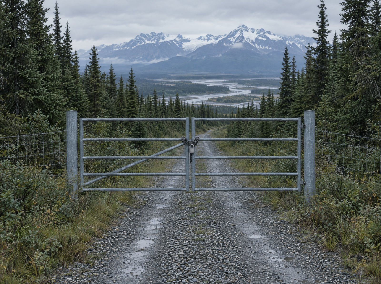
Nothing was taken. A use was simply never written in. And a use that is not written in is the easiest thing in the world to end.
Straight answers
Yes. The alliance is for everyone who uses the ground, on foot or on a machine. A trailhead that closes closes for everybody.
No. AOAA argues for stewardship based management and responsible use. Ground that people use and care about is ground that gets looked after.
It changes the only thing that reliably counts in a hearing, which is how many Alaskans are behind the position. A coalition is its headcount. That is not a slogan, it is how the process works.
Monitoring plans and proposals, public education, and representing local users in state and federal decisions.
Preserve · Protect · Fight
Membership is what gives the alliance its weight. One name, standing with the rest, in every room where Alaska's access gets decided.